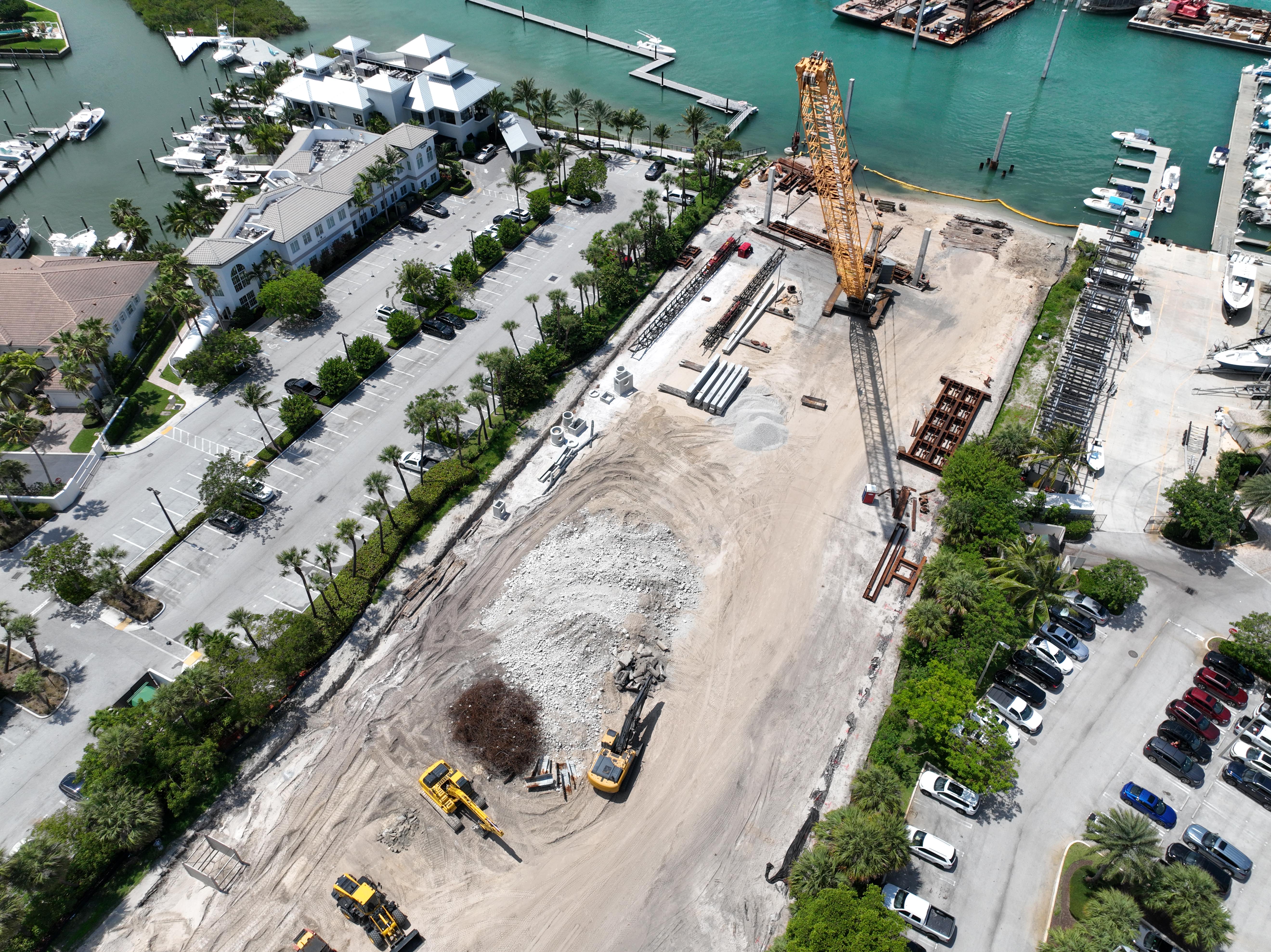
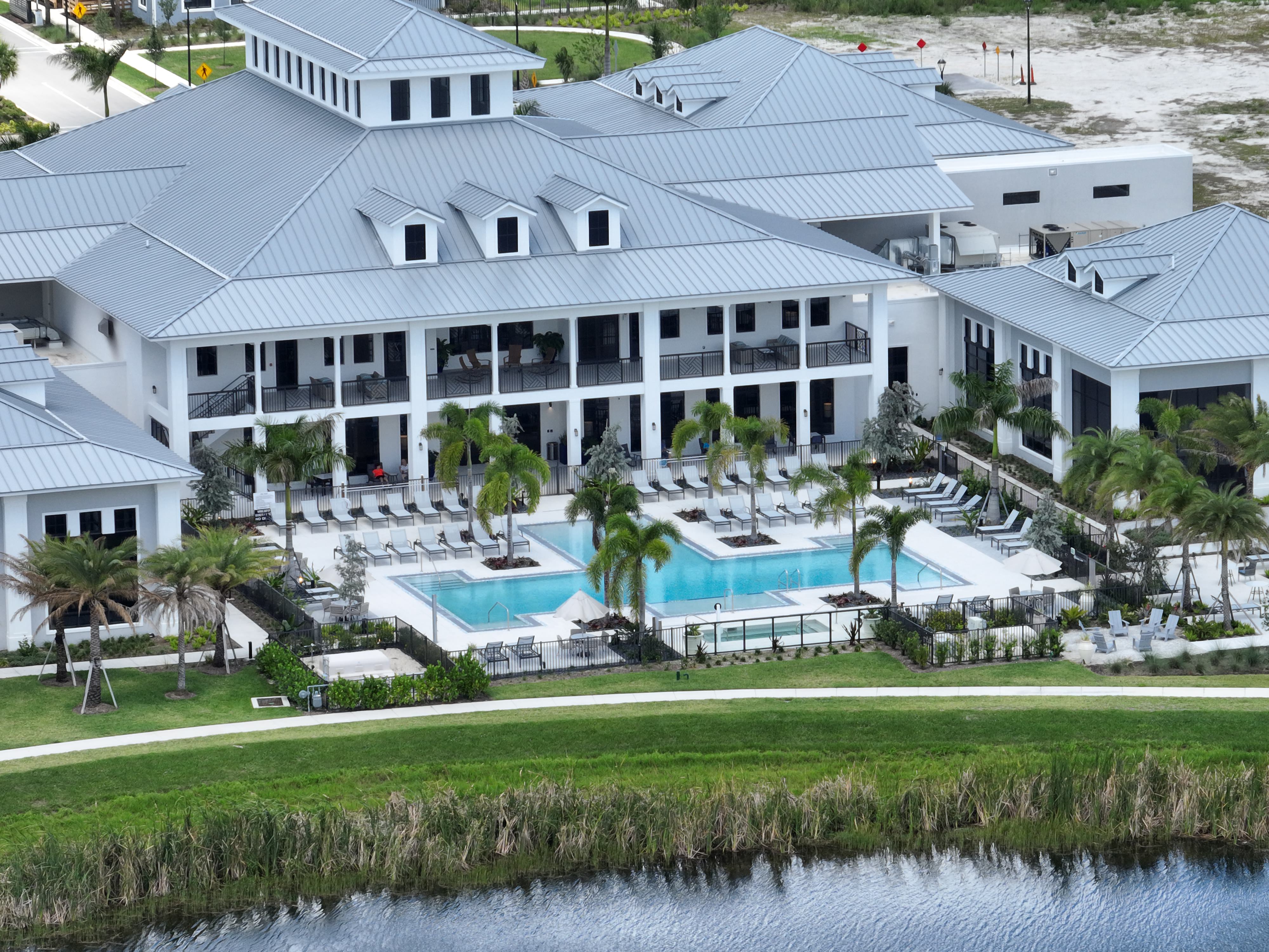
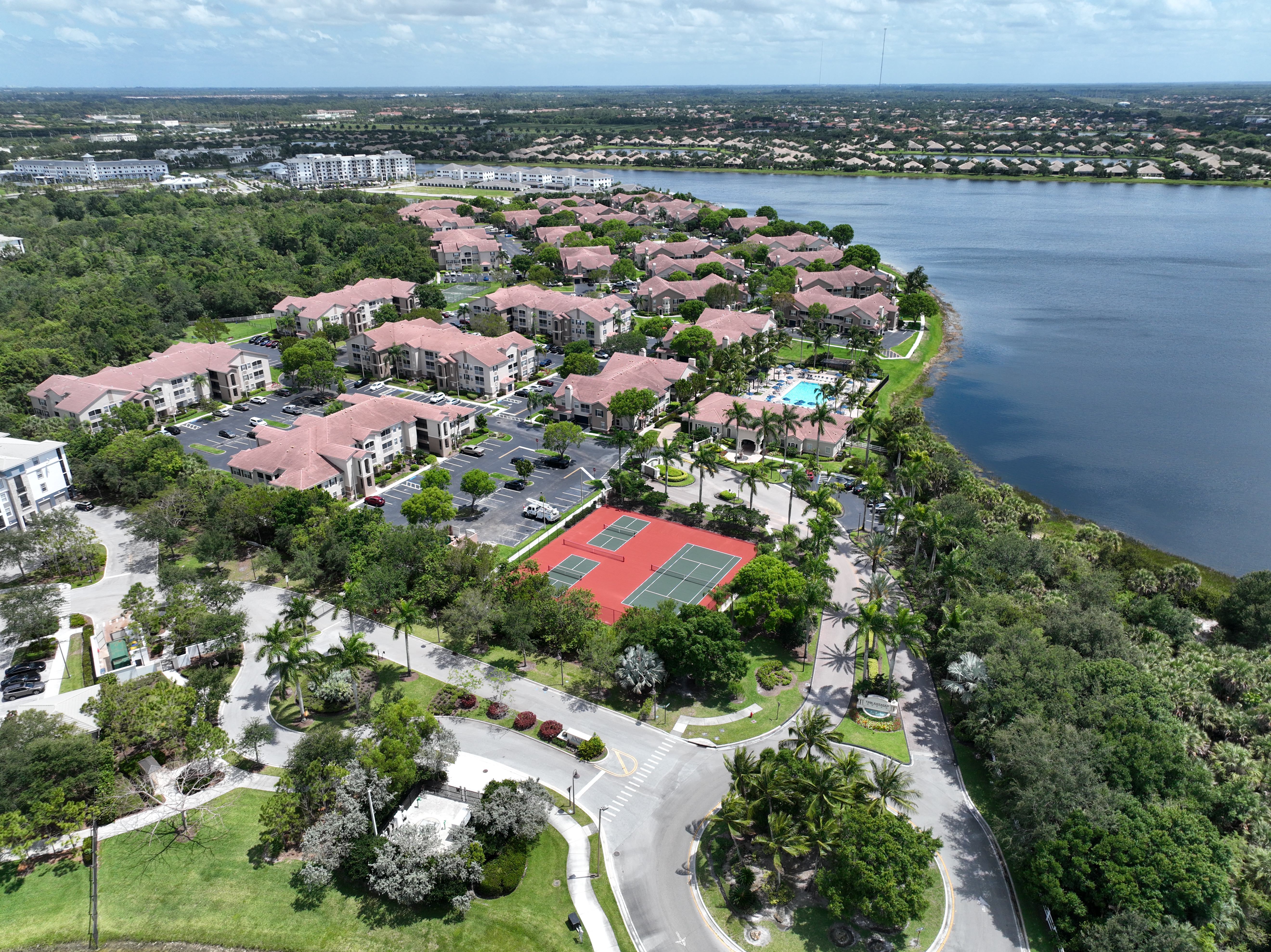
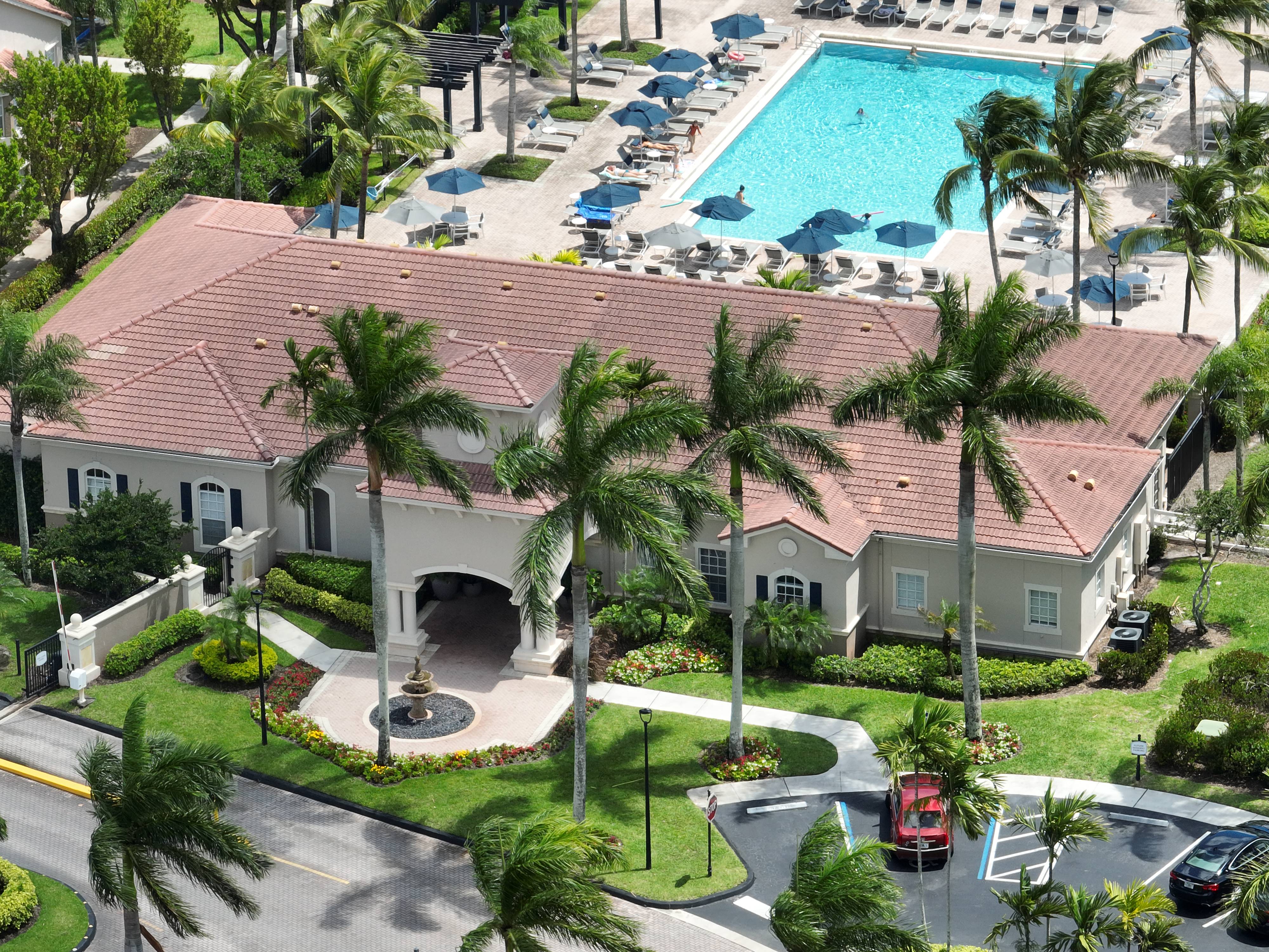
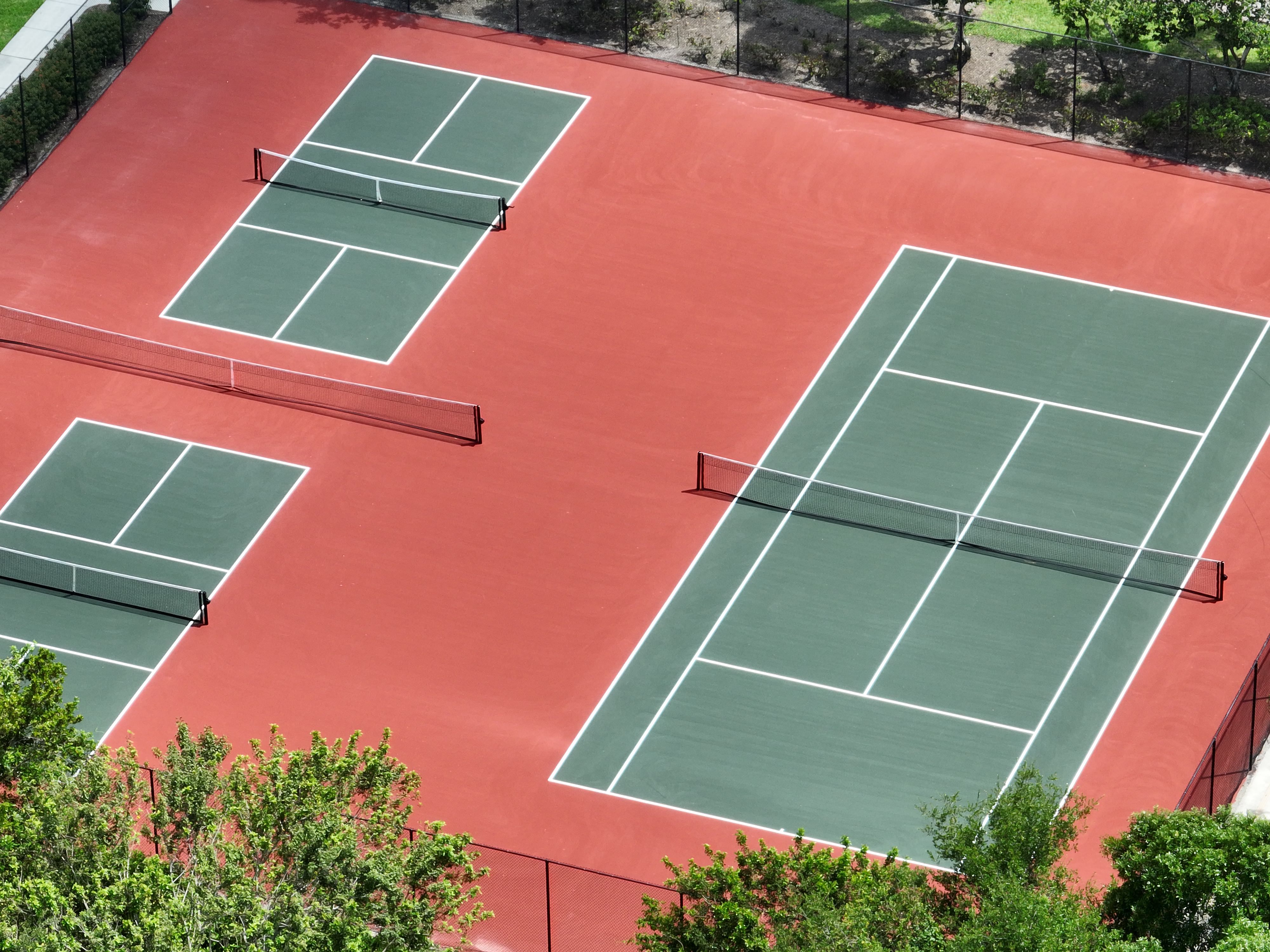
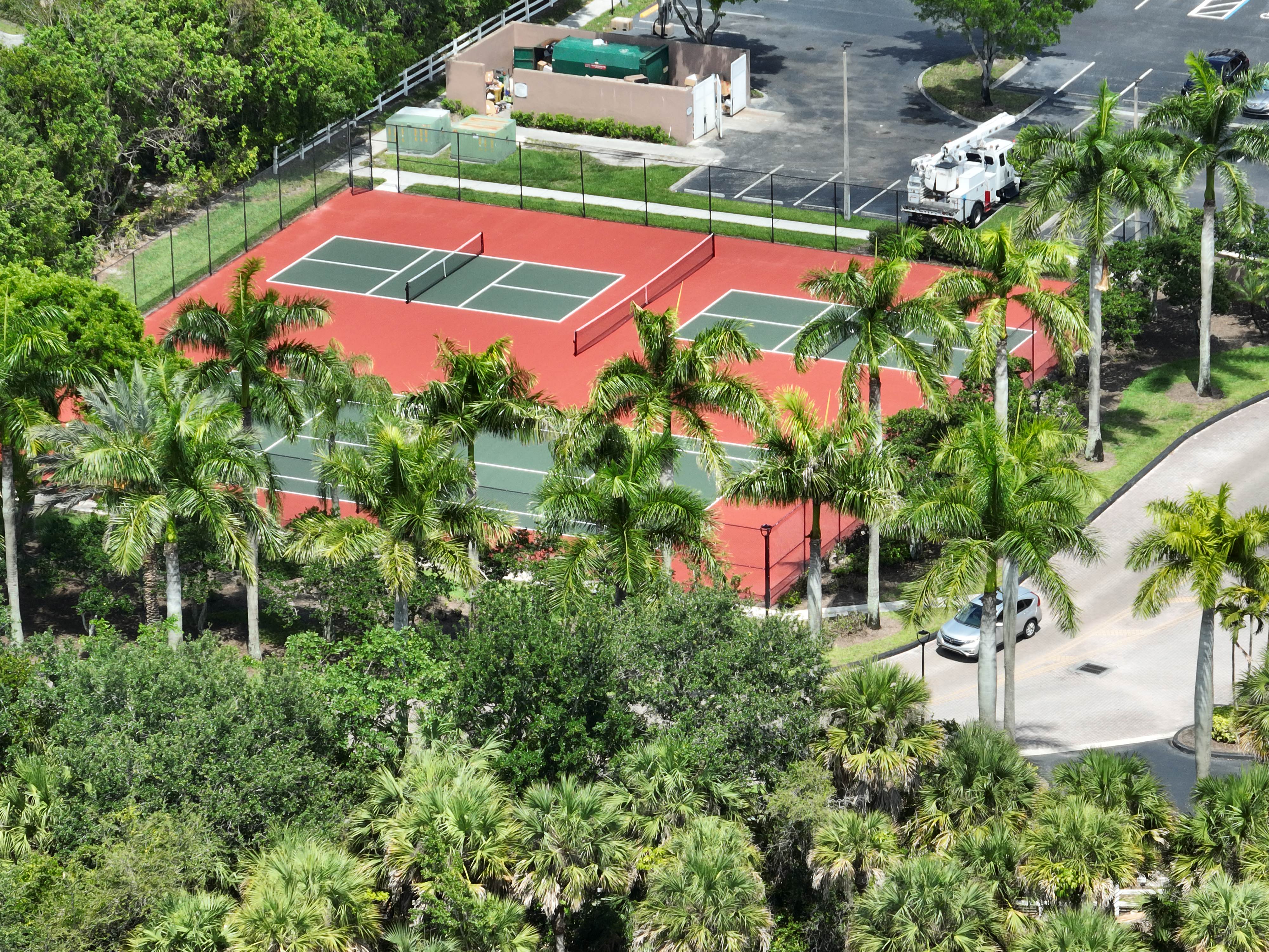
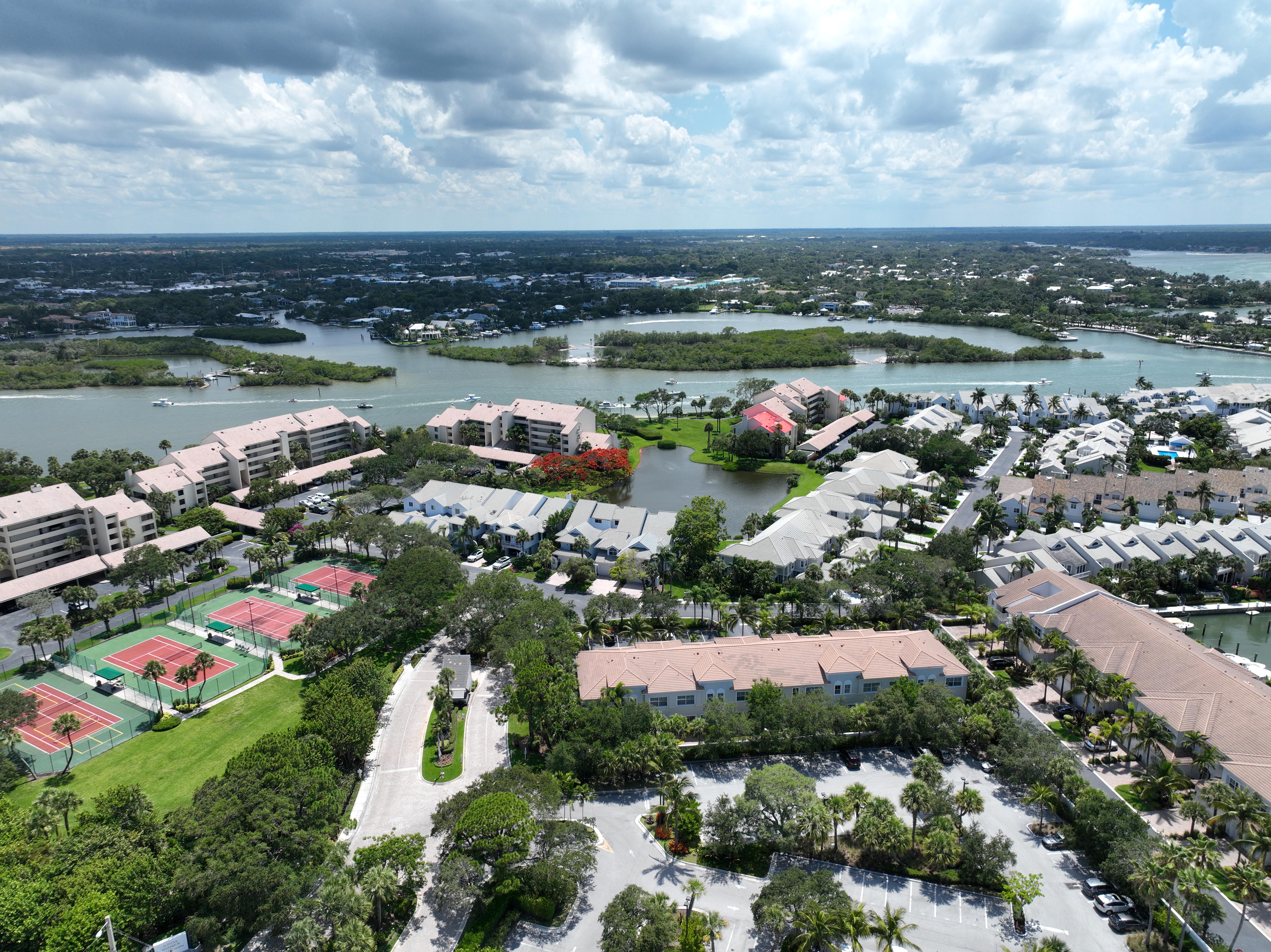
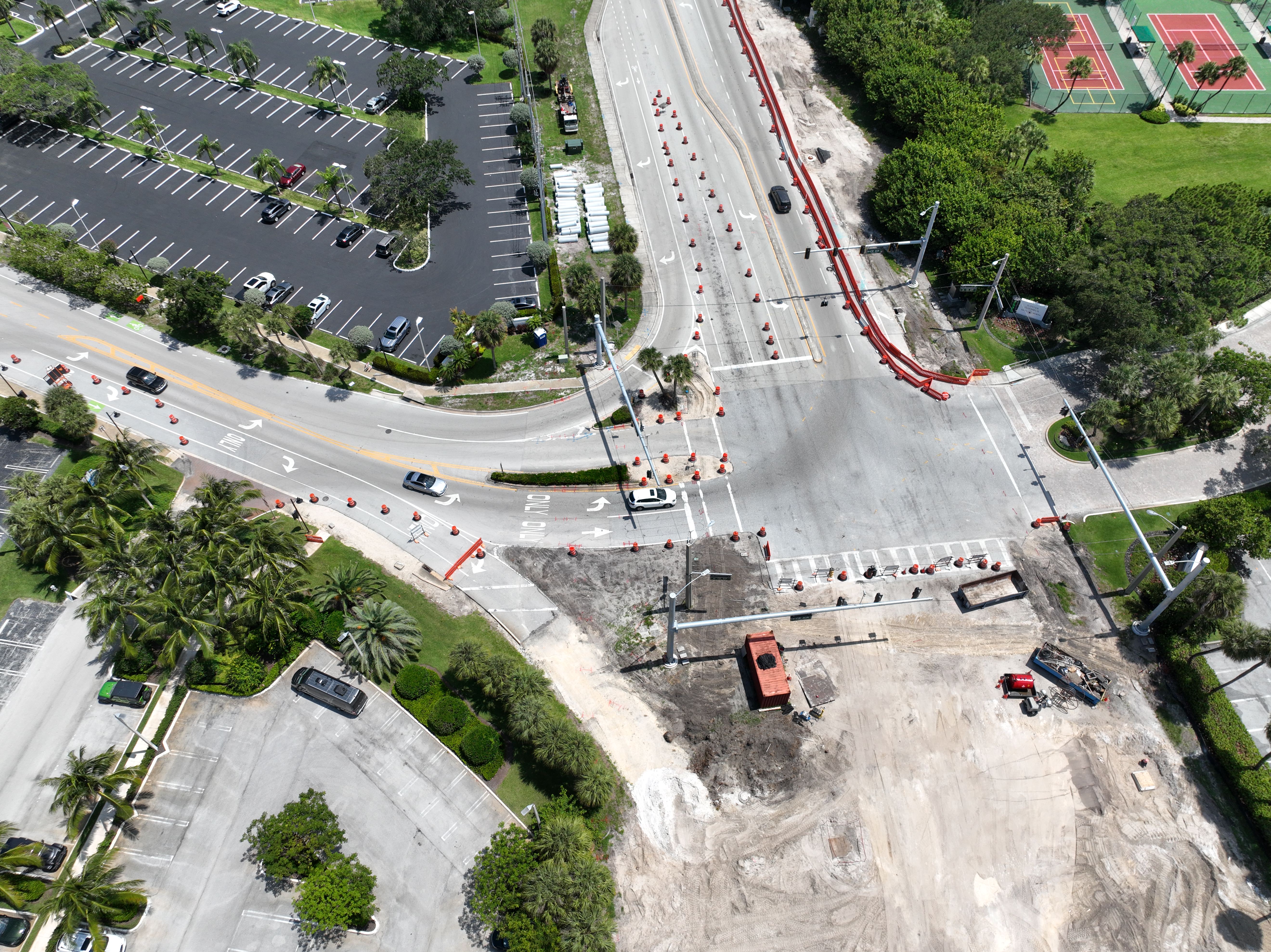
AERIAL CONSTRUCTION SERVICES
We provide aerial mapping and 3-D modeling to give our clients the best ability to plan projects and monitor job progress. We utilize reality capture software to create 3-D models from our drone flights. This saves your company precious time and money while also spotting quality and safety issues.